


Le Tilleul 9500

Laurent53
User
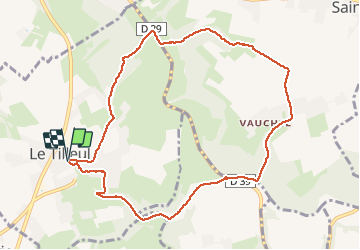

Length
9.3 km

Max alt
119 m

Uphill gradient
197 m
Km-Effort
11.9 km

Min alt
10 m

Downhill gradient
198 m
Boucle
Yes
Creation date :
2020-06-14 17:32:18.687
Updated on :
2020-06-14 17:32:18.687

FREE GPS app for hiking
 SityTrail
IGN / Geographical institutes
SityTrail Plus
The world is yours!
About
Trail of 9.3 km to be discovered at Normandy, Seine-Maritime, Le Tilleul. This trail is proposed by Laurent53.
Positioning
Country:
France
Region :
Normandy
Department/Province :
Seine-Maritime
Municipality :
Le Tilleul
Location:
Unknown
Start:(Dec)
Start:(UTM)
298382 ; 5507096 (31U) N.
Comments